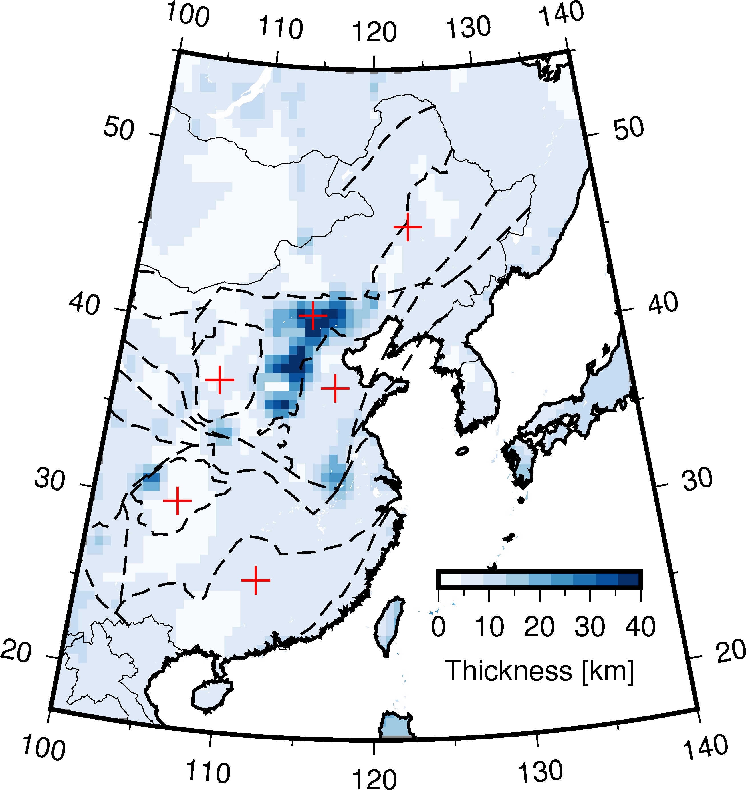
Moho depth clipped by coastline
Keywords: clip, coastline, scale, image
1 2 3 4 5 6 7 8 9 10 11 12 13 14 15 16 17 18 19 20 21 22 23 24 25 26 27 28 29 30 31 32 33 34 35 36 37 38 39 40 41 42 43 44 45 46 47 48 49 50 | #!/usr/bin/env python
import gmt as gmt5
psfile = "moho_thick.ps"
R = "100/140/17/55"
# J = "B120/36/17/55/10c"
J = "B120/36/17/55/8c"
gmt = gmt5.Gmt()
gmt.set("MAP_FRAME_TYPE", "plain")
gmt.set("MAP_DEGREE_SYMBOL", "none")
# gmt.shell("cat thickness_cmt.xyz | awk '{print $1,$2,$3}' > moho.xyz")
gmt.shell("cat thickness_cmt.xyz | awk '{print $1,$2,$6}' > cmt.xyz")
gmt.cmd("surface", "cmt.xyz -Gmoho.grd -I0.5/0.5 -R%s" % (R))
gmt.cmd("makecpt", "-Ctest -T0/40 > color.cpt")
# gmt.cmd("pscoast", "-J%s -R%s -Bx10f5 -By10f5 -W1/0.5p -N1 -A500 -K -Slightblue > %s" % (J, R, psfile))
# gmt.cmd("surface", "data/tablea2.txt -Gmoho.grd -I0.5/0.5 -R-180/180/-90/90")
# gmt.cmd("makecpt", "-Cmoho3.cpt -T20/70 > color.cpt")
gmt.cmd("pscoast", "-J%s -R%s -K -Gc > %s" % (J, R, psfile))
gmt.cmd("grdimage", "moho.grd -J%s -R%s -Ccolor.cpt -K -O >> %s" % (J, R, psfile))
# gmt.cmd("pscontour", "cmt.xyz -R -J -K -O -C2 -W1p,blue >> %s" % (psfile))
gmt.cmd("pscoast", "-J%s -R%s -K -O -Q >> %s" % (J, R, psfile))
gmt.cmd("pscoast", "-J%s -R%s -K -O -Bx10f5 -By10f5 -W1/1p -N1 -A500 >> %s" % (J, R, psfile))
# gmt.cmd("psscale", "-DjBR+w3c/0.3c+h -Ba10f5+l'Thickness [km]' -Ccolor.cpt -J -R -K -O -Xa-0.7c -Ya1.5c >> %s " % (psfile))
gmt.cmd("psscale", "-DjBR+w2.5c/0.2c+h -Ba10f5+l'Thickness [km]' -Ccolor.cpt -J -R -K -O -Xa-0.7c -Ya1.5c >> %s " % (psfile))
# cratonic boudary
gmt.cmd("psxy", "-J -R -K -O -W0.8p,black,- data/China_tectonic.dat >> %s" % (psfile))
gmt.cmd("psxy", "-J -R -O -T >> %s" % psfile)
gmt.cmd("psconvert", "-A -P -Tj -E720 %s" % psfile)
gmt.cmd("psconvert", "-A -P -Tf %s" % psfile)
gmt.execute()
|